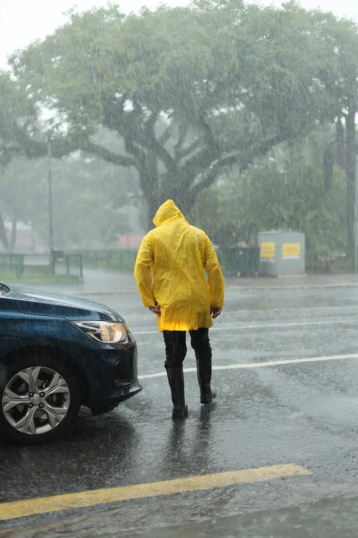
South Africa is preparing for a cold weekend as mostly settled but chilly conditions are expected across much of the country on Saturday. The anticipated cold front will bring a significant drop in temperatures, particularly impacting various regions. Rain is forecast to spread across the Western Cape throughout Sunday, further contributing to the colder weather. This weather pattern signals the arrival of a strong cold front that will affect multiple provinces. Residents are advised to prepare for the colder temperatures and potential wet conditions as the weekend progresses. The shift in weather marks a notable change from recent conditions, with a widespread impact anticipated across South Africa. The South African Weather Service has issued warnings regarding the severity of the approaching system, urging citizens to take necessary precautions. This weekend's weather is set to be a stark reminder of the winter season's arrival, bringing with it a notable change from the milder conditions experienced earlier in the week.
Saturday's Settled Conditions
Saturday will bring mostly settled but chilly conditions across much of South Africa, setting the stage for the more intense weather expected on Sunday. Morning fog is expected to affect parts of Gauteng, Mpumalanga, Limpopo, and the eastern Free State on Saturday. This atmospheric phenomenon typically reduces visibility during the early hours. Dense fog over the Highveld and the Mpumalanga escarpment may reduce visibility throughout the day, posing potential hazards for motorists and commuters in these areas. Conditions elsewhere are largely settled, though certain areas face a slight chance of precipitation. Despite the generally settled outlook, the underlying chill will be noticeable, particularly in the interior regions.
There is a 30% chance of isolated showers and thundershowers over the extreme north-west of the North West Province on Saturday. These isolated showers, while not widespread, could bring brief periods of wet weather to localized areas. Similarly, the northern parts of the Northern Cape, including areas around Upington, also have a 30% chance of isolated showers. Residents in these specific northern areas should be prepared for the possibility of light rain. The far north-eastern parts of Limpopo share this 30% chance of isolated showers, indicating a similar potential for patchy rainfall in that region. These chances of precipitation, though relatively low, highlight the varied conditions expected across the country on Saturday.
The remainder of the country is forecast to stay dry on Saturday. Temperatures will remain cool to cold across the interior on Saturday, a precursor to the more significant temperature drops anticipated with the cold front. This includes provinces such as the Free State, parts of the Eastern Cape, and the central Northern Cape, where daytime highs are not expected to be particularly high. This period of settled but chilly weather precedes the arrival of a strong cold front anticipated to bring widespread colder conditions and rain to other regions, particularly the Western Cape, on Sunday. The cool temperatures across the interior will serve as an early indication of the colder air mass moving in.
Sunday's Western Cape Impact
A strong cold front is expected to move into the Western Cape on Sunday, bringing very cold, wet, and windy weather to the region. This system is poised to deliver a significant impact on the province. The southern Namakwa area will also experience these conditions, extending the reach of the severe weather beyond the immediate coastal areas. Rain will spread across the Western Cape on Sunday, marking a substantial change from the settled conditions of the previous day. This widespread rainfall is a key characteristic of the approaching cold front.
The South African Weather Service predicts an 80% chance of widespread rainfall over the City of Cape Town and surrounding south-western areas on Sunday throughout the day. This high probability indicates a significant downpour for the metropolitan region, suggesting that most residents in these areas should expect continuous or intermittent rain for much of the day. This level of certainty shows the strength and direct trajectory of the cold front.
Further east, a 60% chance of scattered rain is forecast for the southern coastline, extending into parts of the Cape Winelands and the Garden Route. This suggests a broader impact along the provincial coast, affecting popular tourist destinations and agricultural areas. While scattered, the rain in these areas will still contribute to the overall wet conditions. Isolated showers are also anticipated further inland, with a 30% chance reaching the western interior and the southern Northern Cape. This indicates that even areas slightly removed from the direct path of the cold front will not be entirely spared from precipitation. The varying probabilities highlight the decreasing intensity of rainfall as one moves away from the core impact zone of the cold front.
Authorities warn that heavy rainfall associated with the cold front may lead to localised flooding in susceptible areas around Cape Town and the Cape Winelands on Sunday. This risk is particularly high in low-lying areas or those with inadequate drainage systems. Residents in these regions should prepare for potential disruptions, including difficult driving conditions and possible damage to property. Additionally, strong north-westerly winds and rough seas will create hazardous conditions along the south-west coast on Sunday, posing risks for maritime activities and coastal communities. These powerful winds could lead to high waves, making conditions dangerous for shipping and coastal recreation. The combination of intense rainfall, strong winds, and cold temperatures defines the severe nature of this approaching weather system, necessitating heightened awareness and preparedness among the public.
Broader Weather Outlook
The cold and wet conditions anticipated in the Western Cape are expected to spread eastwards into the Central and Little Karoo early next week. This eastward progression means that other parts of the country will soon feel the effects of this strong cold front, albeit in a delayed manner. For Sunday, the central and eastern parts of the country are forecast to remain largely dry, experiencing a mix of sunshine and cloud cover. This provides a temporary reprieve for these regions before the cold front's influence potentially reaches them. Before clearing later in the day, morning fog will once again affect some inland areas on Sunday, similar to conditions observed on Saturday. This recurring fog emphasizes the stable atmospheric conditions in these regions before the full impact of the cold front. This broader outlook indicates a progression of the weather system across different regions of South Africa, with the initial severe impact concentrated in the southwest before gradually extending its reach over the following days. Residents across the country are encouraged to stay updated with the latest weather forecasts as the situation develops.